Ctrl+K

easysnowdata

  • Installation
  • Concepts
  • Credentials
  • Migrating from 0.0.x
  • FAQ
  • Example gallery
    • Data catalog
    • Source status
    • API reference
    • Contributing
    • Releasing
    • Changelog
  • GitHub
  • PyPI
  • Installation
  • Concepts
  • Credentials
  • Migrating from 0.0.x
  • FAQ
  • Example gallery
  • Data catalog
  • Source status
  • API reference
  • Contributing
  • Releasing
  • Changelog
  • GitHub
  • PyPI

Section Navigation

  • Stations
    • All five station networks in one call
    • SNOTEL and snow courses (USDA NRCS AWDB)
    • California snow pillows and courses (CDEC)
    • British Columbia snow stations (DataBC)
    • Norwegian snow stations (NVE HydAPI)
    • Daily snow-station archive (global_snow_networks)
    • Yukon snow stations (AquaCache)
  • Snow
    • MODIS snow cover (MOD10A1, MOD10A1F, MOD10A2)
    • Mountain snow mask (Wrzesien et al.)
    • SNODAS snow water equivalent and depth (NOHRSC)
    • Seasonal snow classification (Sturm and Liston)
    • UCLA snow reanalysis (Margulis et al.)
    • VIIRS snow cover (VNP10A1F)
  • SAR
    • Sentinel-1 RTC backscatter and local incidence angle
  • Optical imagery
    • HLS surface reflectance (Landsat and Sentinel-2)
    • PlanetScope surface reflectance and UDM2 (Planet)
    • Sentinel-2 L2A surface reflectance
  • Terrain
    • CHILI heat-load index (CSP ERGo)
    • Digital elevation models: Copernicus, NASADEM, SRTM, 3DEP, ALOS, GEDTM30
    • Hillshade: Natural Earth shaded relief as a basemap
  • Land cover
    • Forest cover fraction (CGLS-LC100)
    • NLCD land cover, annual (USGS)
    • ESA WorldCover land cover
  • Hydrography
    • Basins: HUC, HydroBASINS and GRDC
  • Boundaries
    • Countries, states, counties and admin units
    • Glacier outlines: Randolph Glacier Inventory 7.0 and 6.0
    • Mountain ranges: GMBA Mountain Inventory v2
    • Natural Earth map layers: lakes, rivers, glaciers, places
  • Climate and reanalysis
    • ERA5 reanalysis (ARCO-ERA5 and Earth Engine)
    • Köppen-Geiger climate classification (Beck et al.)
  • Tools
    • Areas of interest, time ranges and the catalog
    • Water years and day of water year
  • Example gallery
  • Tools

Tools#

The helpers every product shares: areas of interest in any form, time ranges, water years and day-of-water-year coordinates, and the catalog itself.
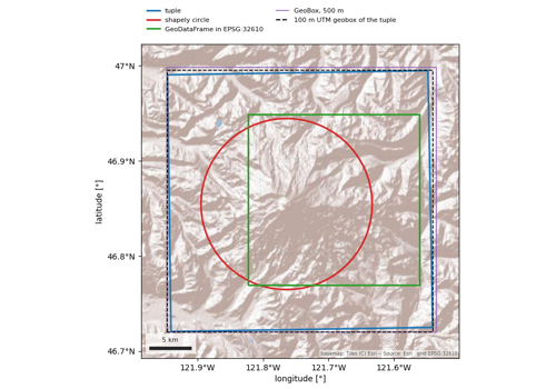
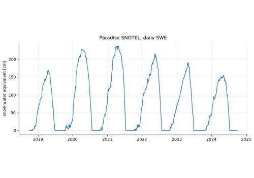
Areas of interest, time ranges and the catalog

Areas of interest, time ranges and the catalog

Water years and day of water year

Water years and day of water year

previous

Köppen-Geiger climate classification (Beck et al.)

next

Areas of interest, time ranges and the catalog

Edit on GitHub

© Copyright 2026, Eric Gagliano.

Built with the PyData Sphinx Theme 0.21.0.