Hydrography#
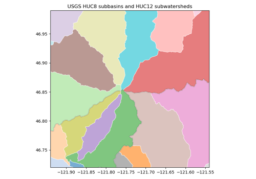
Basin boundaries: the USGS Watershed Boundary Dataset (HUC2 to HUC16, United States), HydroBASINS and BasinATLAS nested sub-basins (global, Pfafstetter levels 1–12), the GRDC major river basins, and the GRDC / WMO basins and sub-basins.
Basin boundaries: the USGS Watershed Boundary Dataset (HUC2 to HUC16, United States), HydroBASINS and BasinATLAS nested sub-basins (global, Pfafstetter levels 1–12), the GRDC major river basins, and the GRDC / WMO basins and sub-basins.