Terrain#
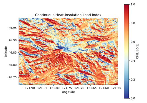
Five digital elevation models behind one load (Copernicus GLO-30 and GLO-90,
NASADEM, SRTM GL1, USGS 3DEP, and ALOS World 3D), the CHILI heat-load index, and
Natural Earth shaded relief as a hillshade basemap.
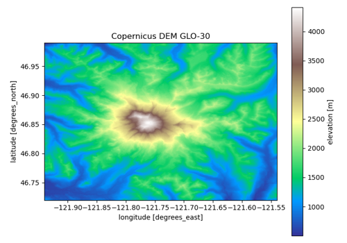
Digital elevation models: Copernicus, NASADEM, SRTM, 3DEP, ALOS, GEDTM30
Digital elevation models: Copernicus, NASADEM, SRTM, 3DEP, ALOS, GEDTM30
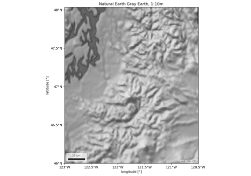
Hillshade: Natural Earth shaded relief as a basemap
Hillshade: Natural Earth shaded relief as a basemap