Example gallery#
One short script per product: load it over one area of interest and draw one figure. Every script here is executed when the docs are built, so a figure on this page is a figure the package produced against live data on that day.
Examples marked not executed in this build need provider credentials and run only in the scheduled build (Credentials); everything else runs on every pull request.
Each page offers the script and a Jupyter notebook to download.
Stations#
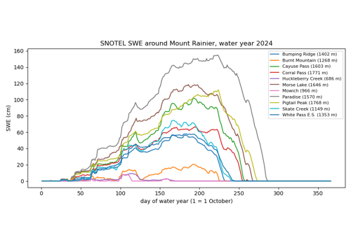
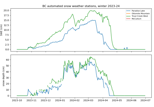
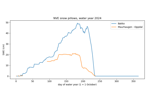
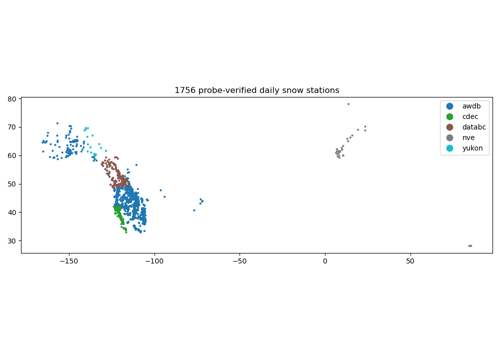
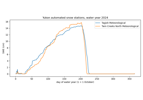
Point observations of SWE and snow depth from five public snow networks, and the daily archive that pre-downloads them all.
Snow#
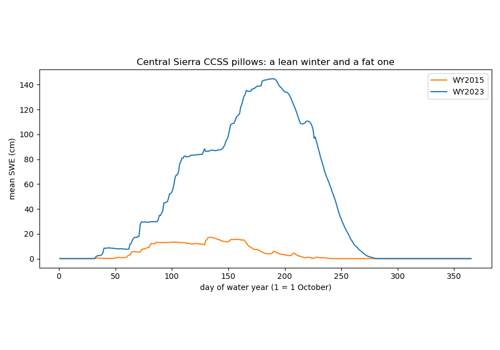
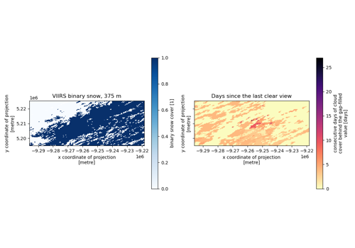
Snow classifications, masks, cover and snow water equivalent.
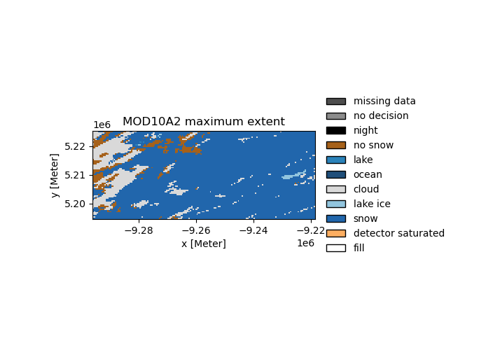
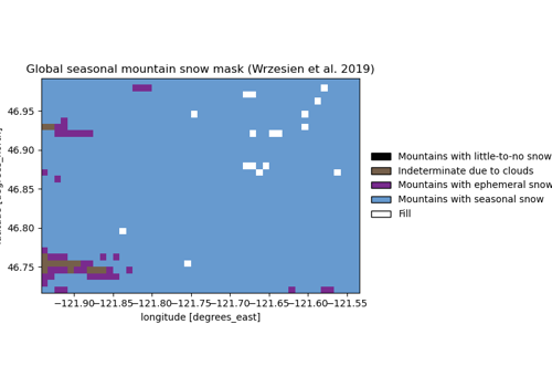
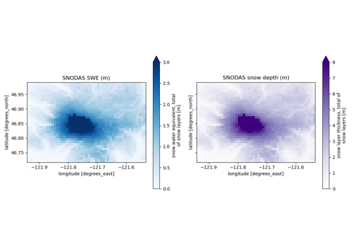
SNODAS: the authoritative archive against the Earth Engine mirror
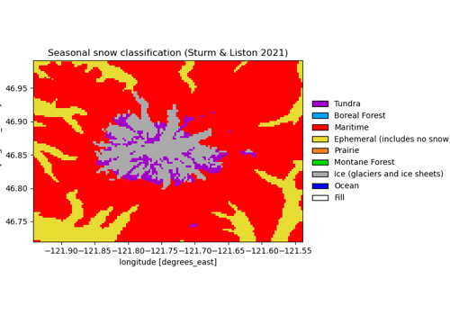
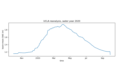
UCLA snow reanalysis, and when virtualization pays off
SAR#
Sentinel-1 radiometrically terrain-corrected backscatter and the local incidence angle.
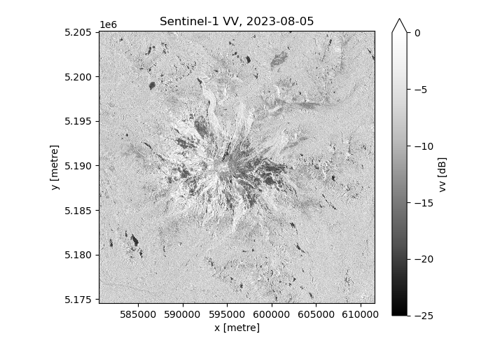
Sentinel-1 backscatter and the local incidence angle
Optical imagery#
Passive optical products: Sentinel-2, HLS and PlanetScope.
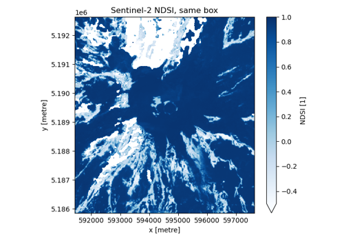
PlanetScope beside Sentinel-2, and the UDM2 snow band
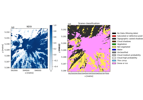
Sentinel-2 snow index, and the two catalogs side by side
Terrain#
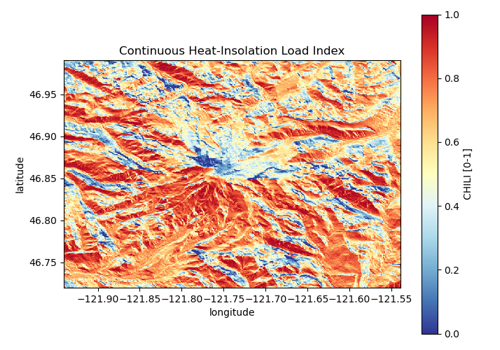
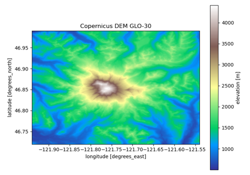
Digital elevation models and topographic indices.
Land cover#
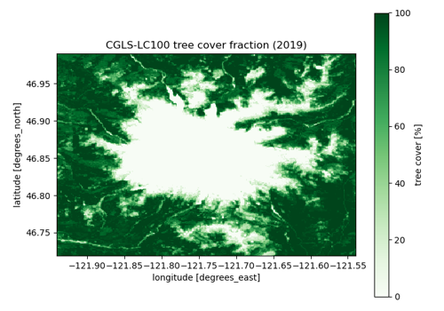
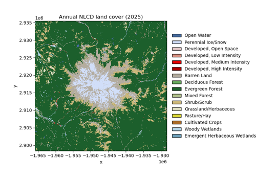
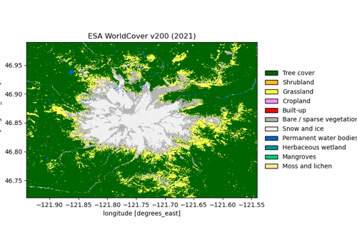
Land cover, forest cover and vegetation products.
Hydrography#
Basin and watershed boundaries.
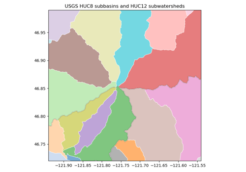
Watersheds around Mount Rainier, and the basin they drain to
Climate and reanalysis#
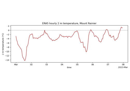
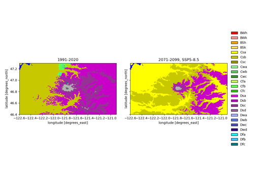
ERA5 / ERA5-Land reanalysis and the Köppen-Geiger climate classification.