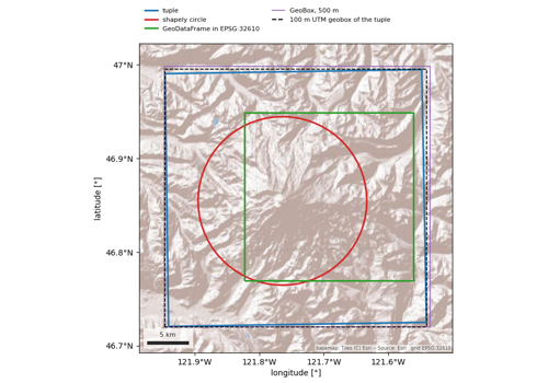
easysnowdata.plotting.finish_map#
- easysnowdata.plotting.finish_map(ax: Any, crs: Any = None, *, scalebar: bool | dict[str, Any] = True, graticule: bool | dict[str, Any] = True, basemap: Any = False, axis_labels: bool = True, warn_geographic: bool = True) Any[source]#
Apply the map conventions to ax: aspect, labels, scale bar, graticule, basemap.
- Parameters:
ax – Axes something has already been drawn on, so the extent is known.
crs – The CRS of the data on the axes (a pyproj
CRSor anything it accepts).Noneis treated as geographic.scalebar –
True/False, or a dict of keyword arguments foradd_scalebar()/add_graticule().graticule –
True/False, or a dict of keyword arguments foradd_scalebar()/add_graticule().basemap –
False(default),TrueforDEFAULT_BASEMAP, or a provider name / object; seeadd_basemap().axis_labels – Label the axes
longitude [°]/latitude [°]oreasting [m]/northing [m]from the CRS.warn_geographic – Warn when the data are in degrees: the axes then get a latitude-corrected aspect (
1 / cos(latitude)) so shapes are not stretched, but distances still vary across the map.
- Returns:
Examples using easysnowdata.plotting.finish_map#
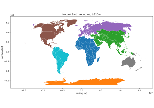
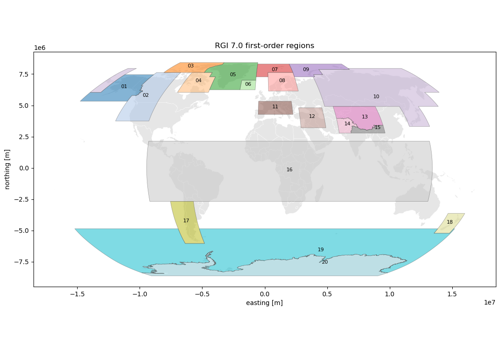
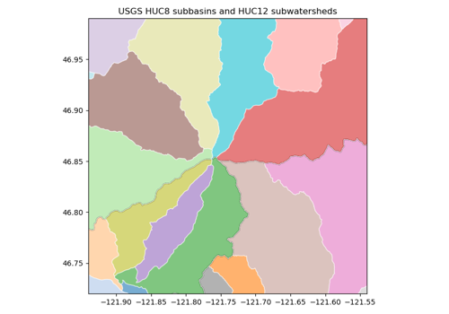
Glacier outlines: Randolph Glacier Inventory 7.0 and 6.0
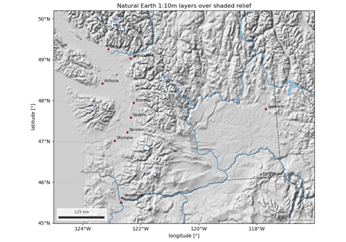
Natural Earth map layers: lakes, rivers, glaciers, places
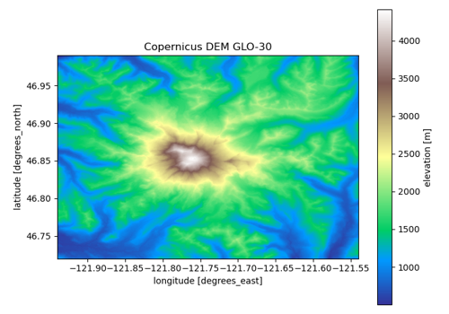
Digital elevation models: Copernicus, NASADEM, SRTM, 3DEP, ALOS, GEDTM30