easysnowdata.terrain.hillshade.load#
- easysnowdata.terrain.hillshade.load(aoi: Any = None, *, source: str | None = None, style: str = 'gray-earth-ocean-drainages', scale: str = '10m', cache: bool = True, chunks: Any = 'easysnowdata-default', **kwargs: Any) DataArray[source]#
Load Natural Earth shaded relief for aoi (the globe when
None).- Parameters:
aoi – Any form
easysnowdata.aoi.parse_aoi()accepts;Nonereturns the whole globe.source – Only
"natural-earth"today.style –
"gray-earth-ocean-drainages"(default; 1:10m only),"gray-earth-ocean","gray-earth-water","gray-earth"or"shaded-relief"(a plain hillshade). SeeSTYLES.scale –
"10m"(default, 1 arcmin) or"50m"(2 arcmin) — Natural Earth’s 1:10 million and 1:50 million scales, not metres.cache –
True(default) downloads the zip once into the easysnowdata cache and reads it locally;Falsereads it over HTTPS every call.chunks – Dask chunks;
Noneloads eagerly.**kwargs – Passed to
rioxarray.open_rasterio.
- Returns:
xarray.DataArray–hillshadeas uint8 brightness (0 dark - 255 light) onlatitude/longitudein EPSG:4326, with no nodata.
Examples using easysnowdata.terrain.hillshade.load#
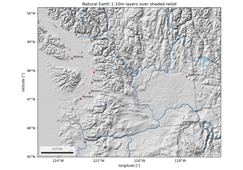
Natural Earth map layers: lakes, rivers, glaciers, places
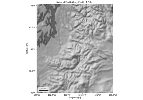
Hillshade: Natural Earth shaded relief as a basemap