easysnowdata.terrain.dem.search#
- easysnowdata.terrain.dem.search(aoi: Any = None, *, product: str | None = None, source: str | None = None, resolution: int | None = None, ellipsoidal: bool = False, **kwargs: Any) GeoDataFrame[source]#
Return the DEM tiles covering aoi as a GeoDataFrame of STAC items.
- Parameters:
aoi – Any form
easysnowdata.aoi.parse_aoi()accepts.product – Any product with a STAC route:
"copernicus-dem"(default),"nasadem","srtm","3dep","alos-dem"or"gedtm30".source – A STAC source of that product, the product’s default when
None:"planetary-computer","earth-search"(Copernicus) or"opentopography". Earth Engine routes have no tile search.resolution – The DEM resolution in metres where a product offers more than one (Copernicus 30/90, 3DEP 10/30).
ellipsoidal – The WGS84-ellipsoid copy of SRTM or ALOS World 3D (
source="opentopography"only).**kwargs – Passed to
easysnowdata.providers.stac.search(). OpenTopography’s catalog is static, with no search API, so it takes none.
- Returns:
geopandas.GeoDataFrame– One row per tile, filterable and accepted back byload().
Examples using easysnowdata.terrain.dem.search#
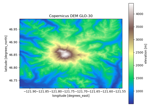
Digital elevation models: Copernicus, NASADEM, SRTM, 3DEP, ALOS, GEDTM30