easysnowdata.boundaries.natural_earth.load#
- easysnowdata.boundaries.natural_earth.load(aoi: Any = None, *, layer: str = 'lakes', scale: str = '10m', category: str | None = None, source: str | None = None, **kwargs: Any) GeoDataFrame[source]#
Read the Natural Earth layer for aoi (the world when
None).- Parameters:
aoi – Any form
easysnowdata.aoi.parse_aoi()accepts; features that intersect it are returned whole.layer – The layer name without the
ne_<scale>_prefix:"lakes"(default),"rivers_lake_centerlines","glaciated_areas"… (seeLAYERS).scale –
"10m"(default),"50m"or"110m".category –
"cultural"or"physical"; only needed outsideLAYERS.source – Only
"natural-earth"today.**kwargs – Passed to
geopandas.read_file.
- Returns:
geopandas.GeoDataFrame– The layer’s own columns, in EPSG:4326.
Examples using easysnowdata.boundaries.natural_earth.load#
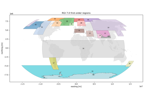
Glacier outlines: Randolph Glacier Inventory 7.0 and 6.0
Glacier outlines: Randolph Glacier Inventory 7.0 and 6.0
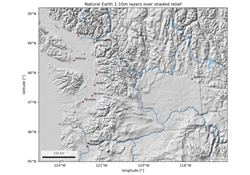
Natural Earth map layers: lakes, rivers, glaciers, places
Natural Earth map layers: lakes, rivers, glaciers, places