US counties (Census cartographic boundaries)#
us-counties · theme boundaries · live
US counties and county equivalents from the Census Bureau.
import easysnowdata as esd

aoi = (-121.94, 46.72, -121.54, 46.99)   # Mount Rainier
counties_gdf = esd.boundaries.admin.counties(aoi)
No account needed
Every route to this product is open. Nothing to set up.
Sources#
source |
provider |
credentials |
resolution |
extent |
temporal |
latency |
notes |
|---|---|---|---|---|---|---|---|
|
vector_http |
none |
— |
United States |
yearly releases |
— |
1:500k, 1:5m or 1:20m zipped shapefile, NAD83 reprojected to EPSG:4326 |
Where each route points#
us-census— US Census cartographic boundaries livehttps://www2.census.gov/geo/tiger/GENZ<year>/shp/cb_<year>_us_county_<resolution>.zip
Variables#
variable |
units |
dtype |
nodata |
categorical |
|---|---|---|---|---|
|
— |
— |
— |
no |
|
— |
— |
— |
no |
|
— |
— |
— |
no |
Provenance#
Licence · Public domain (US government data)
Cite the data as
U.S. Census Bureau (2025). Cartographic Boundary Files. https://www.census.gov/geographies/mapping-files/time-series/geo/cartographic-boundary.html
Documentation
Gallery examples#
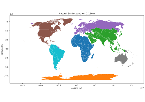
Countries, states, counties and admin units