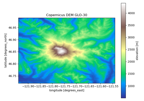
SRTM GL1 v3 (30 m)#
srtm · theme terrain · no data
The Shuttle Radar Topography Mission 1 arc-second global DEM, version 3 (void-filled), as served by Earth Engine: the February 2000 C-band radar surface, 60°N to 56°S, EGM96 geoid. Kept under its own name because so much of the snow literature is built on it; NASADEM is the same mission reprocessed, and the one to use when no Earth Engine account is at hand.
import easysnowdata as esd

aoi = (-121.94, 46.72, -121.54, 46.99)   # Mount Rainier
data = esd.terrain.dem.load(aoi)
Credentials
The default route needs earthengine; see the credentials page for the setup.
Sources#
source |
provider |
credentials |
resolution |
extent |
temporal |
latency |
notes |
|---|---|---|---|---|---|---|---|
|
gee |
earthengine |
30 m |
60°N to 56°S |
static (acquired February 2000; v3 2013) |
— |
one global image; the only cloud-native route to SRTM proper without an Earthdata download of per-tile NetCDF |
Where each route points#
gee— Earth Engine no dataUSGS/SRTMGL1_003
Variables#
variable |
units |
dtype |
nodata |
categorical |
|---|---|---|---|---|
|
m |
float32 |
— |
no |
Provenance#
Licence · Public domain (NASA data)
DOI · 10.5067/MEaSUREs/SRTM/SRTMGL1.003
Cite the data as
NASA JPL (2013). NASA Shuttle Radar Topography Mission Global 1 arc second V003. NASA EOSDIS Land Processes DAAC. https://doi.org/10.5067/MEaSUREs/SRTM/SRTMGL1.003
Documentation
Loader · easysnowdata.terrain.dem.load
Gallery examples#